









Artificial intelligence is fundamentally reshaping how defense, intelligence, and commercial organizations collect, process, and exploit satellite imagery. As the global volume of Earth observation data grows exponentially day by day, advanced machine learning technologies are rapidly becoming essential tools for intelligence professionals. These systems are no longer experimental additions; they are core operational necessities required for identifying complex patterns, detecting subtle anomalies, and delivering actionable intelligence at operational speed.
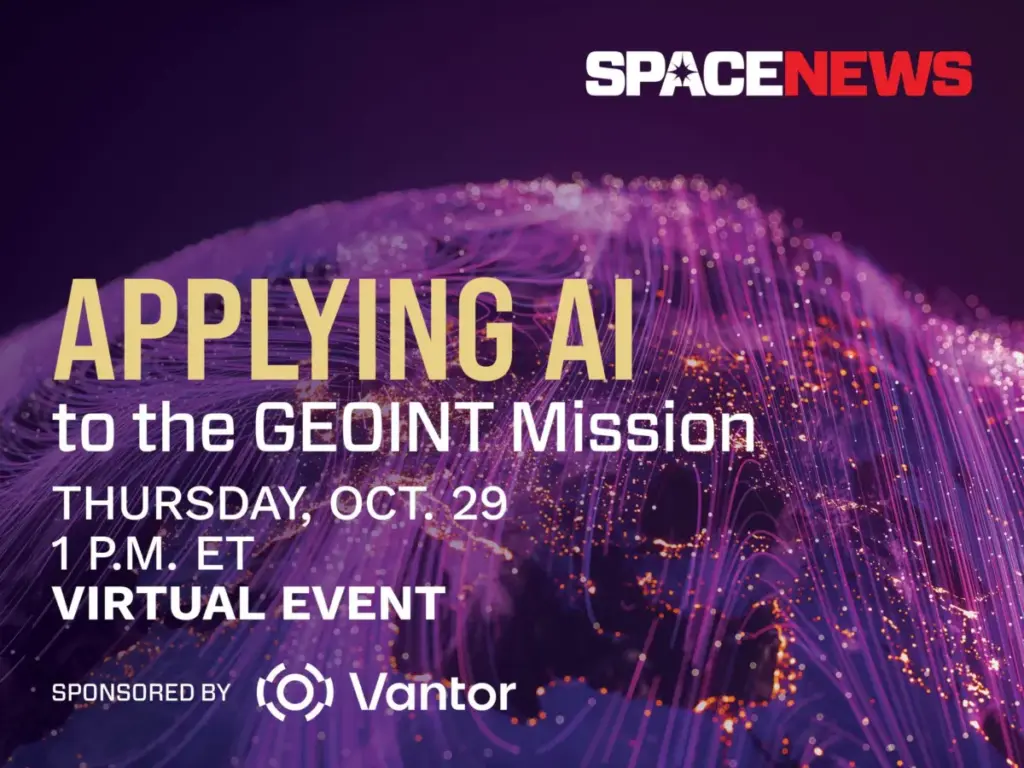
To explore these sweeping technological shifts, SpaceNews and Vantor are partnering to host a dedicated virtual event on Thursday, October 29. Titled "Applying AI to the GEOINT Mission," the online discussion will examine how machine learning is actively transforming geospatial intelligence across diverse markets, ranging from national security and defense operations to commercial enterprise applications.
The 45-minute virtual session will address several of the most pressing technological and operational frontiers in modern surveillance. Industry experts and defense leaders are scheduled to discuss recent advances in automated target recognition, sophisticated change detection algorithms, multimodal data fusion, and the integration of large language models into intelligence workflows. Beyond the technological breakthroughs, the conversation will tackle the persistent challenges that organizations face when trying to validate AI outputs and maintain vital analyst trust in automated systems.

As data streams expand and the pace of global events accelerates, intelligence organizations are confronted with fundamental questions about operational balance. The panel will consider where artificial intelligence delivers its greatest and most immediate operational value, where human analysts remain fundamentally indispensable, and how agencies can successfully adapt to persistent, data-driven surveillance environments.
The event is sponsored by Vantor, a company focused on shaping the frontier of spatial intelligence to help build a more autonomous and interoperable world. Vantor provides decision-makers and frontline operators with the capability to construct a unified intelligence picture, offering the operational clarity required to navigate ongoing developments and anticipate future shifts. By fusing data from its advanced orbital constellation—which includes some of the most capable imaging satellites currently in orbit—with real-time sensor feeds spanning space, air, and ground domains, Vantor aims to create a comprehensive, AI-ready digital twin of Earth.
The company’s spatial intelligence platform is designed to automate every phase of the intelligence cycle, moving seamlessly from tasking to collection and production. This automation allows organizations to update and analyze foundational data at the exact pace of real-world change. These capabilities are intended to drive deeper, mission-critical insights and effectively connect the next generation of autonomous systems across the defense, intelligence, and commercial landscapes.

The virtual event will take place via Zoom on Thursday, October 29, from 1:00 p.m. to 1:45 p.m. Eastern Time. Attendance is open to registered participants, who will receive a unique link to join the live session upon completing their registration. For those unable to attend the live broadcast, a full recording of the event will be published online shortly after the session concludes.