








Artificial intelligence is fundamentally changing how intelligence organizations collect, process, and exploit satellite imagery. As the global volume of Earth observation data grows exponentially, AI is becoming essential for identifying patterns, detecting anomalies, and delivering critical intelligence at operational speed.
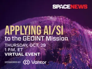
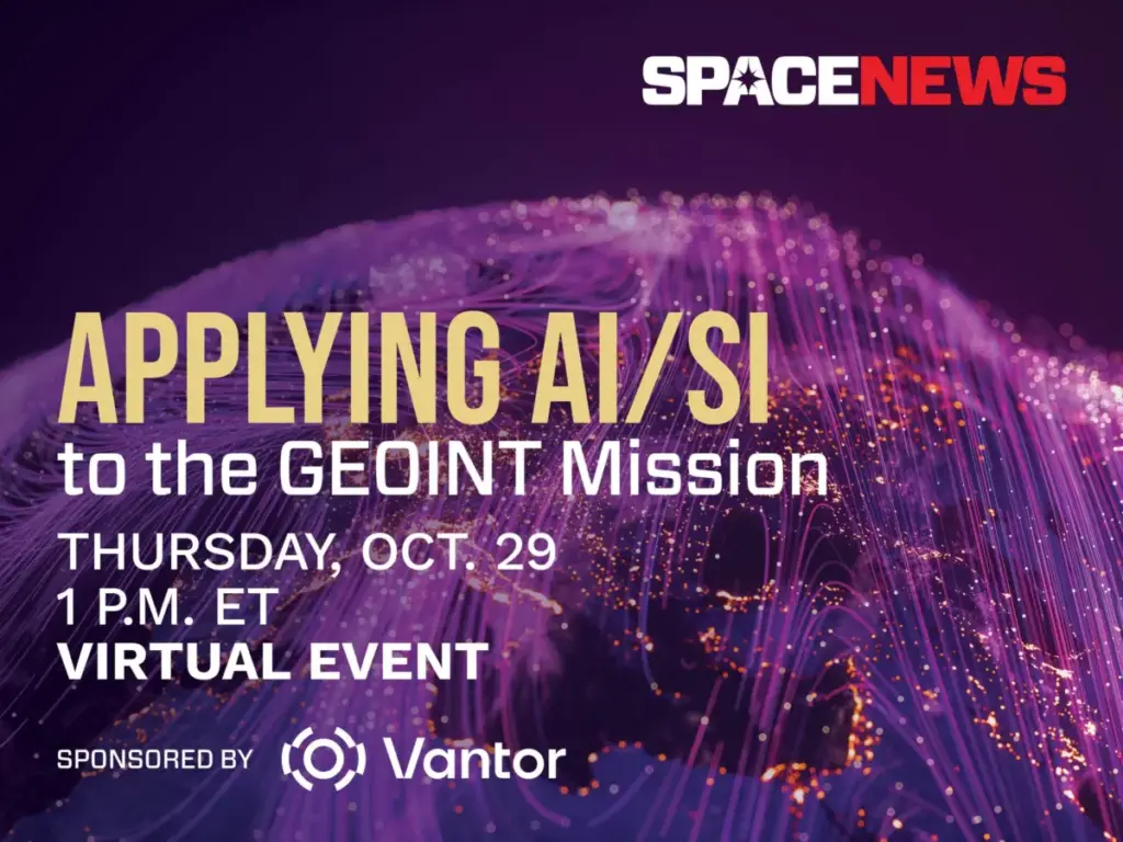
To explore these rapid technological shifts, SpaceNews and Vantor are hosting a virtual event on Thursday, October 29, examining how machine learning is transforming the Geospatial Intelligence (GEOINT) mission across defense, intelligence, and commercial markets.
The virtual event, titled “Applying AI/SI to the GEOINT Mission,” will take place from 1:00 p.m. to 1:45 p.m. Eastern Time via Zoom. The session is designed for professionals across the defense, intelligence, and aerospace sectors who are navigating the integration of advanced automation into traditional intelligence workflows.

The Evolving Role of Artificial Intelligence in Spatial Intelligence
Modern intelligence organizations face a persistent challenge: the sheer volume of data streaming down from orbit far outpaces the capacity of human analysts. Commercial and government satellite constellations continuously image the Earth, producing petabytes of optical, synthetic aperture radar, and multispectral data daily. Without advanced computing capabilities, much of this information remains underutilized, trapped in backlogs of unexploited pixels.
Artificial intelligence and spatial intelligence (SI) technologies bridge this gap by automating the heavy lifting of data triage. During the upcoming virtual event, speakers will dive deep into the specific technological advances driving this transition. Discussions will center on automated target recognition, advanced change detection algorithms, multimodal data fusion, and the integration of large language models into analytical toolsets.

However, the rapid adoption of AI in high-stakes environments also brings significant hurdles. Industry leaders and technical experts will address the complex challenges of validating AI outputs to prevent algorithmic hallucinations or errors, as well as the ongoing necessity of maintaining analyst trust in automated systems. Because intelligence decisions can carry strategic and tactical consequences, operators must be able to understand and verify how an algorithm arrived at a specific conclusion.
The conversation will also tackle broader philosophical and operational questions about the future of the intelligence workforce. Panelists will consider where artificial intelligence delivers its greatest operational value, where human analysts remain fundamentally indispensable, and how intelligence agencies and commercial enterprises can adapt to an era defined by persistent, data-driven surveillance.
Event Details and Registration
The virtual event is open to industry professionals, government officials, defense personnel, and commercial stakeholders interested in the future of geospatial intelligence.
- Event Applying AI/SI to the GEOINT Mission
- Date: Thursday, October 29
- Time: 1:00 p.m. to 1:45 p.m. ET
- Format: Virtual event via Zoom
Attendees who register for the session will receive a unique link to join via email upon registration confirmation. For those unable to attend the live broadcast, a full recording of the event will be posted shortly after the conclusion of the session.
By submitting a registration form, participants agree to the SpaceNews Privacy Policy and Terms and Conditions, as well as to receive email communications from the organizers and event partners, with the option to opt-out at any time.

About the Sponsor: Vantor
The virtual event is sponsored by Vantor, a company focused on shaping the frontier of spatial intelligence to unlock a more autonomous and interoperable world. Vantor provides decision-makers and operational personnel with the tools needed to build a unified intelligence picture, offering the clarity required to navigate current events and anticipate future developments.
Vantor’s platform fuses data from its proprietary satellite constellation—which includes highly capable imaging satellites currently on orbit—with real-time sensor feeds spanning space, air, and ground domains. By combining these diverse streams, the company creates an AI-ready digital twin of the Earth.
The Vantor spatial intelligence platform is engineered to automate every stage of the intelligence cycle, from initial tasking and collection to final production, enabling organizations to update and analyze their foundational data at the rapid pace of real-world change. These capabilities are designed to drive deeper, mission-critical insights and seamlessly connect the next generation of autonomous systems across defense, intelligence, and commercial landscapes.