








Artificial intelligence is fundamentally reshaping how defense, intelligence, and commercial organizations collect, process, and exploit satellite imagery. As the global volume of Earth observation data expands exponentially, AI has rapidly evolved from an experimental capability into an essential operational tool. Today, machine learning systems are relied upon heavily for identifying subtle patterns, detecting critical anomalies, and delivering actionable intelligence at operational speeds that far exceed human capabilities alone.
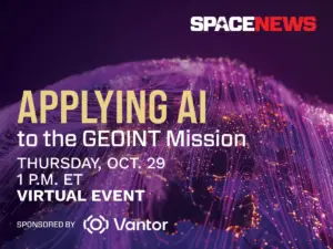
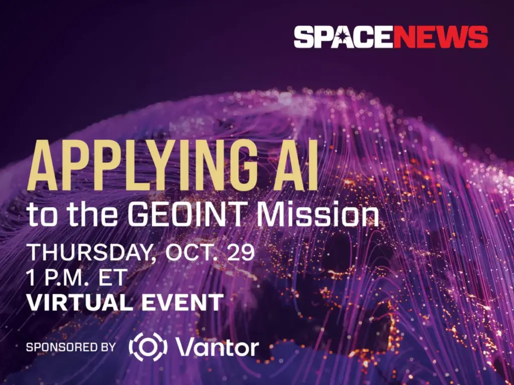
To examine these transformative developments, SpaceNews is partnering with spatial intelligence leader Vantor to host an upcoming virtual event. Scheduled for Thursday, October 29, the focused session will explore how advanced machine learning is revolutionizing the geospatial intelligence (GEOINT) mission across defense, intelligence, and commercial markets.
The virtual conversation will bring together industry leaders and technical experts to discuss the latest advancements in automated target recognition, sophisticated change detection, multimodal data fusion, and the integration of large language models. At the same time, the panel will address the persistent challenges facing the intelligence community, including the rigorous validation of AI outputs, the mitigation of algorithmic bias, and the crucial requirement of maintaining analyst trust in automated systems.


As persistent, data-driven surveillance becomes the standard across modern operations, the discussion will evaluate where artificial intelligence delivers its greatest operational value, where human analysts remain fundamentally indispensable, and how intelligence organizations must adapt to manage overwhelming streams of multi-source information.
Event Details
The virtual event, titled "Applying AI to the GEOINT Mission," will take place on Thursday, October 29, from 1 to 1:45 p.m. Eastern Time. The session will be hosted virtually via Zoom, allowing participants from around the globe to attend the live discussion. Attendees who register in advance will receive a unique link to join the webinar. For those unable to attend the live broadcast, a full recording of the event will be made publicly available shortly after the conclusion of the session.
The event is sponsored by Vantor, a company focused on pioneering the new frontier of spatial intelligence to unlock a more autonomous and interoperable world. Vantor provides decision-makers and operational personnel with the tools necessary to build a unified intelligence picture, offering the operational clarity required to navigate current events and anticipate future developments.

By fusing data from its advanced orbital constellation—which includes some of the most capable imaging satellites currently in orbit—with real-time sensor feeds spanning space, air, and ground domains, Vantor aims to construct an AI-ready digital twin of Earth. The company’s spatial intelligence platform is designed to automate every phase of the intelligence cycle, moving seamlessly from tasking to collection and production. This automation enables the continuous updating and analysis of foundational geographic data at the speed of modern operational change.
Through these capabilities, Vantor’s products are engineered to drive deeper mission-critical insights and connect the next generation of autonomous systems across defense, intelligence, and commercial landscapes.
Registration for the virtual event is currently open. Attendees can sign up through the SpaceNews registration portal, keeping in mind standard platform terms and conditions regarding communications and privacy policies.