







Artificial intelligence is fundamentally reshaping how defense, intelligence, and commercial organizations collect, process, and exploit the ever-expanding volume of satellite imagery. As Earth observation constellations generate massive quantities of data daily, conventional analysis methods can no longer keep pace. In response, advanced machine learning is rapidly becoming an indispensable asset for identifying critical patterns, detecting subtle anomalies on the Earth’s surface, and delivering actionable intelligence at operational speed.
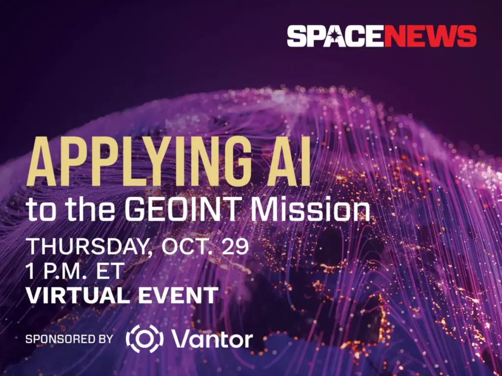
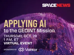
To explore this technological evolution and its profound implications for the global security landscape, SpaceNews is partnering with Vantor to host a specialized virtual event on Thursday, October 29. The session, titled "Applying AI to the GEOINT Mission," will bring together industry leaders and technical experts to examine how machine learning is actively transforming geospatial intelligence across defense and commercial markets.
The Growing Imperative for Automated GEOINT
The modern space domain is characterized by an unprecedented proliferation of imaging satellites, commercial constellations, and real-time sensor feeds spanning space, air, and ground domains. This data deluge creates a significant operational bottleneck for human analysts. While the sheer volume of observation data offers unprecedented global transparency, it also threatens to overwhelm traditional intelligence pipelines.
To counter this information overload, intelligence organizations are increasingly turning to artificial intelligence to automate the foundational steps of data processing. Machine learning models are now deployed to parse vast archives of imagery, filtering out irrelevant environmental noise and highlighting genuine points of interest for human decision-makers. This shift allows intelligence agencies to move from reactive analysis to a posture of persistent, data-driven surveillance.

Key Focus Areas of the Virtual Event
The upcoming virtual discussion will delve into several of the most critical technological advancements driving modern geospatial intelligence. Panelists and speakers will address breakthroughs in automated target recognition, allowing systems to independently identify military hardware, infrastructure developments, and strategic assets with high precision.
Another central theme of the event will be advanced change detection and multimodal data fusion. By combining optical imagery with synthetic aperture radar, thermal imaging, and signals intelligence, modern platforms can construct a comprehensive, real-time picture of complex operating environments regardless of weather conditions or time of day.
Furthermore, the conversation will examine the integration of large language models and advanced spatial intelligence platforms into defense workflows. These tools are designed to streamline the entire intelligence lifecycle, automating tasks from initial satellite tasking and image collection to final product generation. By creating dynamic, AI-ready digital twins of the Earth, operators can better navigate current operational landscapes and anticipate future developments.
Balancing Automation with Human Expertise
Despite the extraordinary capabilities of modern machine learning, integrating artificial intelligence into high-stakes intelligence missions presents unique challenges. A major focus of the October 29 event will be the critical task of validating AI outputs and maintaining analyst trust in automated systems.

As algorithms take on heavier analytical burdens, defense and intelligence leaders must grapple with questions of transparency, error mitigation, and accountability. The panel discussion will carefully consider where artificial intelligence delivers its greatest operational value, where human analysts remain fundamentally indispensable, and how organizations can successfully adapt their operational culture to embrace persistent surveillance without compromising accuracy or security.
Event Details and Registration
The virtual event "Applying AI to the GEOINT Mission" is scheduled for Thursday, October 29, from 1:00 p.m. to 1:45 p.m. Eastern Time. The session will be hosted via Zoom, and participants will receive a unique access link upon completing their registration. For those unable to attend the live broadcast, a full recording of the event will be made available shortly after the conclusion of the session on the SpaceNews platform.
The event is sponsored by Vantor, an organization dedicated to forging the new frontier of spatial intelligence and building a unified intelligence picture for decision-makers and operators worldwide.