









Artificial intelligence is rapidly reshaping the foundational mechanics of how defense, intelligence, and commercial organizations collect, process, and exploit vast quantities of satellite imagery. As the global volume of Earth observation data expands exponentially year over year, traditional methods of manual imagery analysis are increasingly hitting operational bottlenecks. To keep pace with modern security demands, AI has transformed from an experimental capability into an essential tool for identifying complex patterns, detecting subtle anomalies on the surface of the planet, and delivering actionable intelligence at true operational speed.
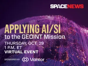
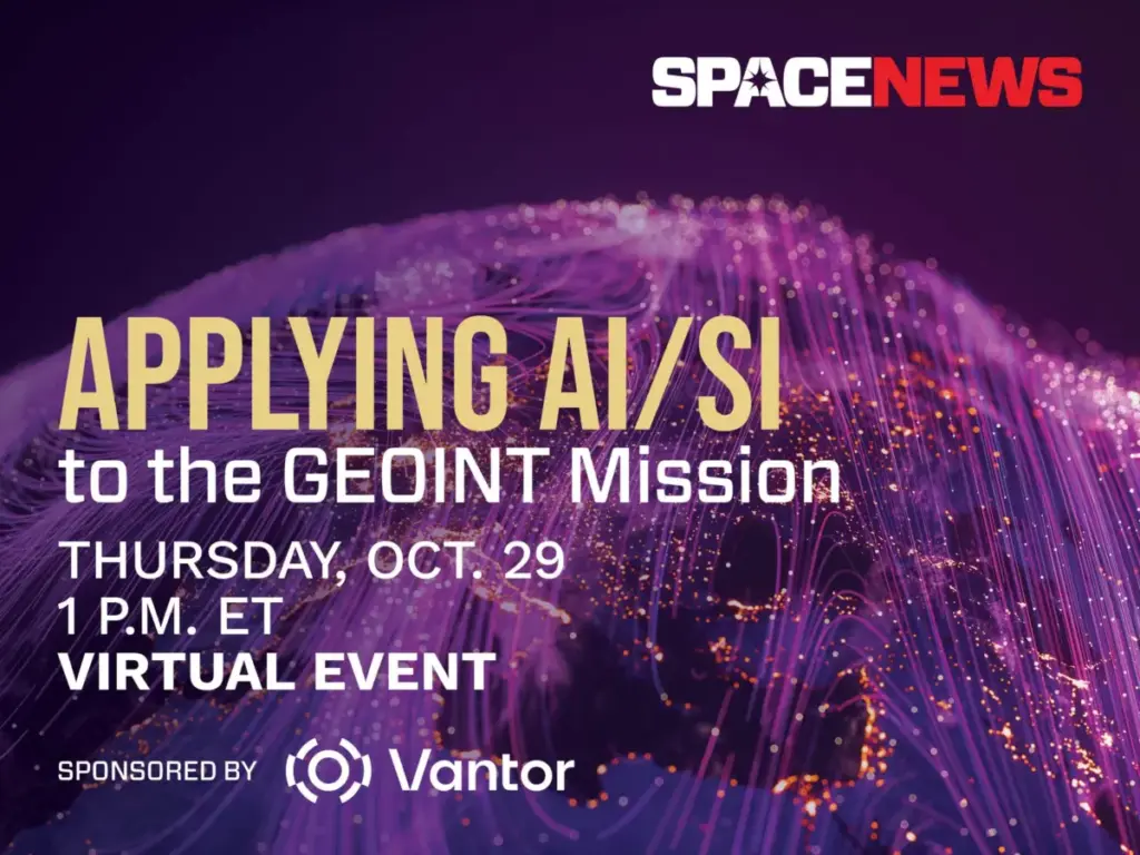
To explore this profound technological shift, SpaceNews and spatial intelligence leader Vantor are jointly hosting a specialized virtual event on Thursday, October 29. Titled "Applying AI/SI to the GEOINT Mission," the online discussion will run from 1:00 p.m. to 1:45 p.m. Eastern Time via Zoom. The event aims to bring together industry professionals, defense experts, and technology leaders to analyze how advanced machine learning is fundamentally altering the Geospatial Intelligence (GEOINT) landscape across multiple sectors.
Exploring the Frontiers of Automated Intelligence
The upcoming virtual conversation will delve deeply into some of the most critical technological advancements currently driving the defense and intelligence communities. Speakers are expected to unpack breakthroughs in automated target recognition, a capability that allows systems to autonomously identify and classify military or civilian assets within high-resolution imagery without continuous human intervention.

In addition to target recognition, the panel will examine sophisticated change detection algorithms capable of spotting minute alterations in infrastructure, terrain, or maritime traffic over time. As multi-source data collection becomes the norm, the discussion will also address multimodal data fusion—the process of combining imagery with signals intelligence, open-source data, and real-time sensor feeds—alongside the integration of large language models to streamline analytical workflows.

However, the rapid adoption of artificial intelligence in high-stakes national security environments is not without hurdles. Industry experts will candidly address the ongoing challenges of validating AI outputs, mitigating algorithmic bias, and maintaining unwavering analyst trust in automated systems. A central theme of the dialogue will focus on striking the right operational balance: determining where machine learning delivers its absolute greatest value through speed and scale, versus where human judgment, intuition, and oversight remain entirely indispensable. Furthermore, the panel will evaluate how intelligence organizations can successfully adapt their internal structures, training programs, and technology stacks to cope with persistent, data-driven global surveillance.
Event Details and Registration
The virtual event is open to defense, intelligence, and commercial professionals interested in the future of spatial intelligence and automated exploitation.
- Event Applying AI/SI to the GEOINT Mission
- Date: Thursday, October 29
- Time: 1:00 p.m. to 1:45 p.m. ET
- Format: Virtual via Zoom (A unique access link is provided upon registration confirmation, and a full recording will be made available shortly after the conclusion of the live broadcast.)
Attendees can register through the official event portal, keeping in mind that submission of registration details binds participants to the host publication’s privacy policies and terms of service regarding communications and updates.
Industry Context: The Evolution of Spatial Intelligence
The partnership for this event highlights Vantor’s ongoing role in forging a new frontier of spatial intelligence designed to unlock a more autonomous and interoperable world. Modern spatial intelligence platforms are engineered to give decision-makers and frontline operators the power to build a unified intelligence picture, providing the critical clarity needed to navigate rapidly unfolding events and anticipate future developments.

By fusing data from advanced satellite constellations—including some of the most capable imaging hardware currently in orbit—with real-time sensor feeds spanning space, air, and ground domains, technology providers are building AI-ready digital twins of the Earth. Modern spatial intelligence platforms automate every phase of the intelligence cycle, moving seamlessly from initial tasking and collection to data production and distribution. This continuous automation allows intelligence architectures to update and analyze foundational Earth data at the exact pace of real-world change.
Ultimately, these next-generation products are designed to drive deeper, mission-critical insights while connecting modern autonomous systems across defense, intelligence, and commercial landscapes. The October 29 discussion will provide a timely platform for stakeholders to examine how these capabilities will shape the future of global security and operational readiness.