










 Standard
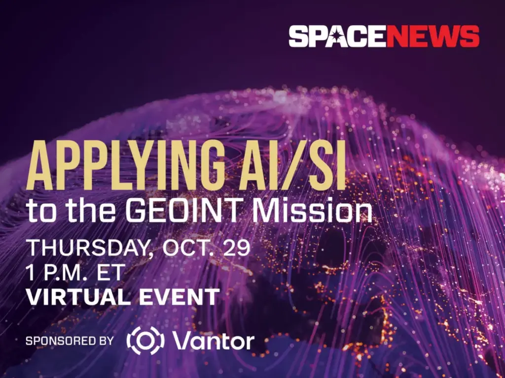
Harnessing Artificial Intelligence to Revolutionize Geospatial Intelligence and the GEOINT Mission
Artificial intelligence is rapidly reshaping the foundational mechanics of how defense, intelligence, and commercial organizations collect, process, and exploit vast quantities of satellite imagery. As the global volume of Earth observation data expands exponentially year over year, traditional methods of manual imagery analysis are increasingly hitting operational bottlenecks. To keep pace with modern security demands,…