







Artificial intelligence is rapidly reshaping the landscape of global security, defense, and commercial operations, fundamentally altering how intelligence organizations collect, process, and exploit satellite imagery. As the global volume of Earth observation data expands exponentially year over year, traditional methods of manual imagery analysis are no longer sufficient. Today, artificial intelligence and advanced machine learning are becoming absolutely essential tools for modern intelligence professionals, providing the necessary capabilities to identify subtle patterns, detect critical anomalies, and deliver actionable intelligence at true operational speed.
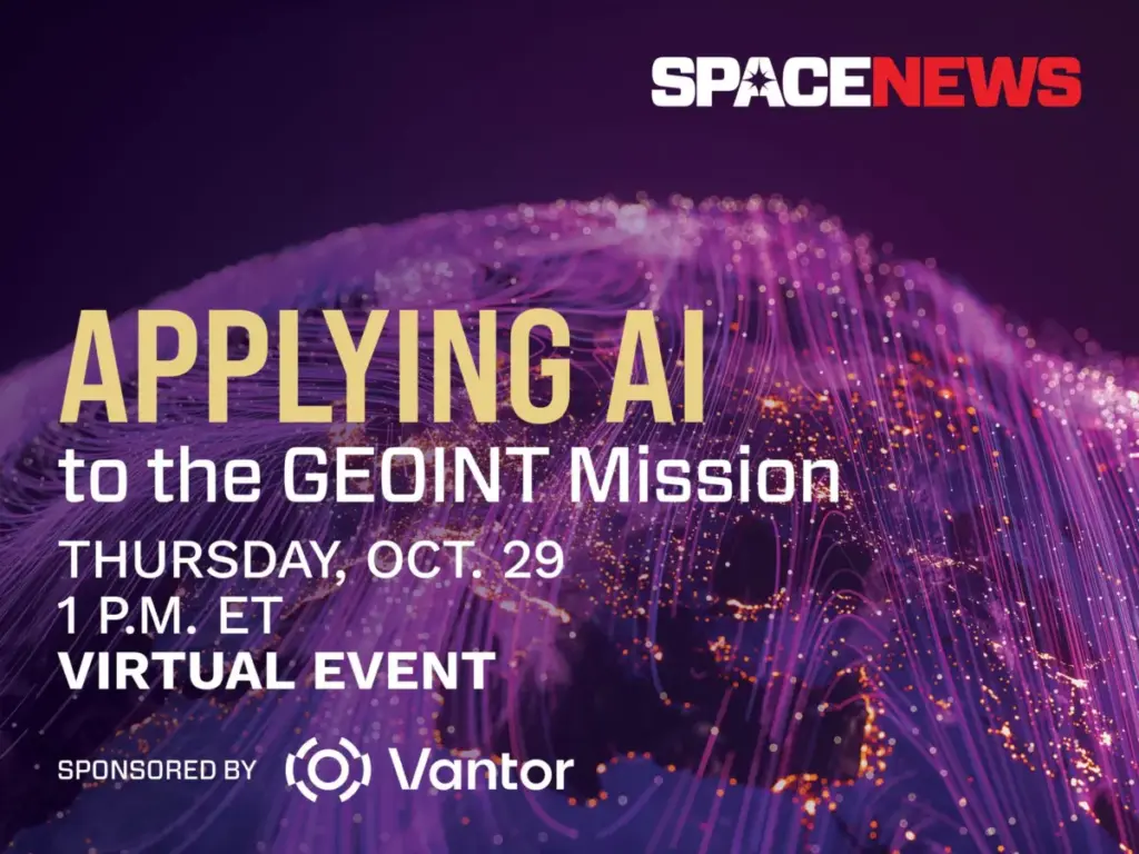
To explore these profound technological shifts, SpaceNews is partnering with Vantor to host an exclusive virtual event on October 29. Titled "Applying AI to the GEOINT Mission," the 45-minute briefing will dive deep into how machine learning is transforming geospatial intelligence across defense, intelligence, and commercial markets. The virtual gathering is scheduled to take place from 1 to 1:45 p.m. Eastern Time via Zoom, offering industry professionals, defense officials, and commercial space leaders a front-row seat to the future of spatial analytics.
Exploring the Cutting Edge of Spatial Intelligence
The upcoming virtual session will bring together industry experts to discuss some of the most critical and fast-evolving technological frontiers in the aerospace and defense sectors. Conversations during the event will center on major advancements in automated target recognition, sophisticated change detection algorithms, multimodal data fusion, and the integration of large language models into intelligence workflows.

While these technological breakthroughs promise unprecedented speed and analytical depth, they also introduce complex operational challenges. Speakers are expected to tackle the hurdles associated with validating artificial intelligence outputs, ensuring system reliability, and maintaining crucial analyst trust in automated assessments. Furthermore, the discussion will critically evaluate where artificial intelligence delivers its greatest operational value, where human analysts remain fundamentally indispensable, and how intelligence organizations can successfully adapt to an era defined by persistent, data-driven surveillance.
Event Details and Access
The virtual event is designed for accessibility, allowing participants to join remotely from anywhere around the globe.
- Event Applying AI to the GEOINT Mission
- Date: Thursday, October 29
- Time: 1 to 1:45 p.m. ET
- Platform: Virtual via Zoom
Registration for the event is currently open. Attendees who complete the registration process will receive a unique link to join the live session directly in their confirmation email. For those unable to attend the live broadcast, a full recording of the event will be published shortly after the conclusion of the briefing.

About the Sponsor: Vantor
The event is sponsored by Vantor, a company at the forefront of forging a new frontier in spatial intelligence to unlock a more autonomous and interoperable world. Vantor provides decision-makers and frontline operators with the power to build a unified intelligence picture, delivering the essential clarity required to navigate rapidly unfolding events and shape future strategic postures.
Vantor achieves this by fusing data from its advanced orbital constellation—which includes some of the most capable imaging satellites currently in orbit—with real-time sensor feeds streaming from space, air, and ground domains. This massive aggregation of data is utilized to construct an AI-ready digital twin of the Earth.
The company’s spatial intelligence platform is engineered to automate every phase of the intelligence cycle, seamlessly bridging tasking, collection, and production to continuously update and analyze foundational data at the rapid pace of modern global change. By driving deeper, mission-critical insights, Vantor’s products help connect the next generation of autonomous systems across the defense, intelligence, and commercial landscapes.