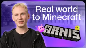




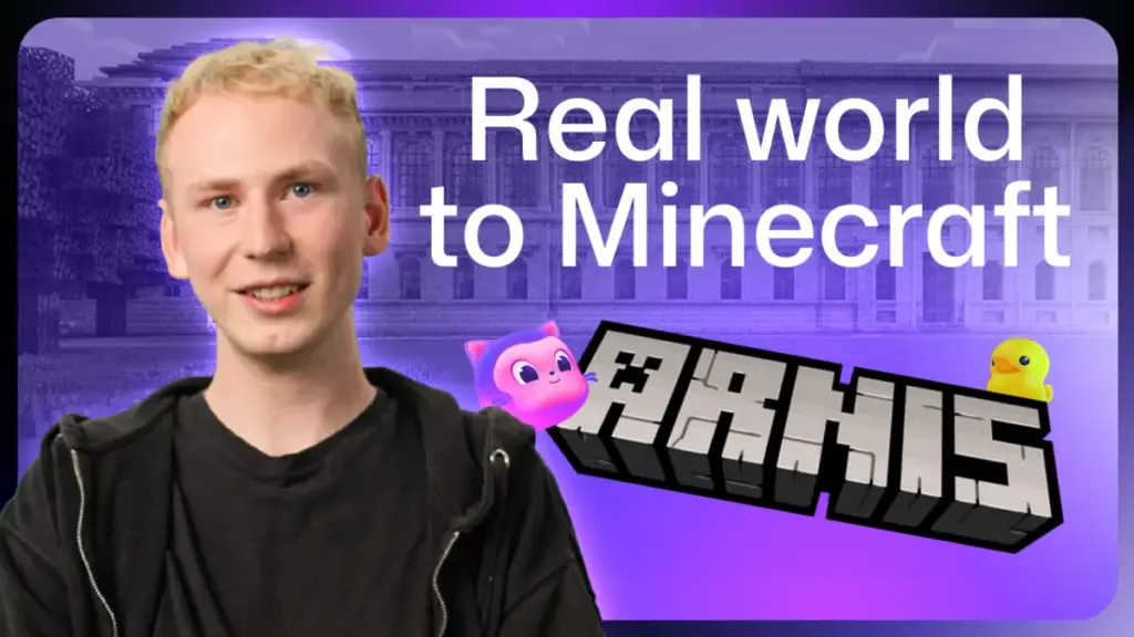
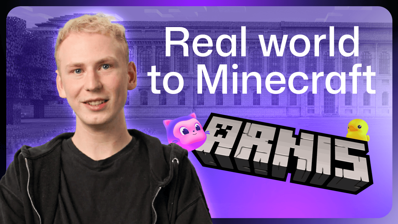
Louis Erbkamm possesses an intimate knowledge of Arnis, a small, picturesque town in Germany. He can describe the location of its shops, the position of its boats, and the rhythm of its streets with the confidence of a lifelong resident. Yet, there is a distinct irony to his expertise: Erbkamm has never actually stepped foot in the town. For the creator of the popular open-source project that shares the town’s name, Arnis is not just a destination; it is a digital canvas.
Arnis, the software project, acts as a bridge between the physical world and the blocky, infinite horizons of Minecraft. By pulling real-world geospatial data from OpenStreetMap and other public repositories, Erbkamm’s creation allows users to transform any location on Earth—or even beyond—into a fully explorable Minecraft environment. Since its inception in 2022, the project has gained significant traction, amassing nearly 900,000 downloads on GitHub and fostering a vibrant community of approximately 70 active contributors.
A Two-Week Prototype and the Birth of a Project
Erbkamm’s journey into the intersection of coding and gaming began long before the launch of his flagship project. Growing up as an avid Minecraft player, he started writing code at the age of 13, constantly seeking ways to integrate software development with his favorite game. The project that would eventually be known as "Arnis" started as a simple, experimental diversion during a school break.
In its earliest iteration, the project was a manually written Python script. Its scope was limited, relying exclusively on OpenStreetMap data. Because the initial generation process was computationally expensive and slow, Erbkamm needed a small, manageable testing ground. He searched for towns in Germany, where he resides, and settled on the real-world town of Arnis. The town proved to be an ideal laboratory. As Erbkamm notes, "Arnis has a lot of buildings, it has streets, it has waters, it has all kinds of different elements that are useful to test with." The project was initially nameless, but as it began to mirror the physical town, it adopted the town’s unique moniker. It took just two weeks for the first functional prototype to materialize, laying the foundation for what would eventually become a sophisticated tool used by thousands.
The Evolution of Open Source Collaboration
The trajectory of the project shifted significantly when Erbkamm introduced elevation data. Suddenly, the generated worlds were no longer flat, two-dimensional planes, but dynamic, three-dimensional landscapes that mimicked the true topography of the world. This development acted as a catalyst, drawing in a diverse array of geospatial specialists from across the globe. These contributors brought not only technical expertise but also a shared vision for how to better integrate complex geographic information into the Minecraft engine.
The collaborative nature of the project has been its greatest strength. Recognizing the need for community input, Erbkamm has consistently pushed for transparency. When the time came to port the project from Python to Rust to improve performance and scalability, he did not make the decision in a vacuum. Instead, he opened public discussions on GitHub to invite diverse perspectives, ensuring the transition reflected the needs of the users. Today, the project has been translated into roughly 20 languages, and contributors have developed major features that Erbkamm had not originally envisioned. Reflecting on this growth, Erbkamm admits that the most rewarding aspect of his work has been witnessing people from varied professional backgrounds unite to refine a project that began as a solitary side endeavor.
Bringing Detail to the Blocky Landscape
One of the most fascinating challenges in building a world-generator is the translation of real-world infrastructure into Minecraft’s limited block-based vocabulary. A prime example of this occurred during a casual walk Erbkamm took through his own city. He noticed an abundance of trash bins along the streets—an everyday detail that was completely absent from his generated worlds.
Because Minecraft does not feature native "trash bin" blocks, Erbkamm brought the problem to his community. Together, they debated and eventually selected a block that accurately captured the spirit of a street-side bin. This process highlights the technical rigor behind the project: for any user-selected area, the software queries OpenStreetMap for every mapped element, cross-referencing coordinates and object types. If an object is not mapped, it does not appear. However, for iconic structures that are too complex for standard map data, such as the Statue of Liberty or Christ the Redeemer, the project employs 3D model conversion, transforming intricate architectural details into Minecraft-compatible geometry.
Scaling Maintenance with Artificial Intelligence
As the sole maintainer of a project with such high demand, Erbkamm faces the daunting task of managing a steady stream of pull requests. Maintaining the project in his spare time—typically during evenings and weekends—means the community often waits for his input. To bridge this gap and maintain efficiency, Erbkamm has turned to GitHub Copilot.
By leveraging AI, Erbkamm can now get a comprehensive overview of open issues and bugs. The tool helps him track how many users are encountering specific glitches, trace the root causes within the codebase, and draft potential fixes. This shift has not only accelerated his workflow but has also improved the quality of documentation and the thoroughness of code reviews. "I could delegate those annoying and boring tasks to Copilot, while I could still have a look at those really cool topics that are related to the development of it," he explains.
This integration of AI extends to the review of large pull requests. When a major feature is submitted, Erbkamm uses the GitHub Copilot app to perform a performance review, identifying subtle changes that might inadvertently spike memory usage or increase generation times. He is particularly sensitive to these regressions; as he notes, "It takes just one wrong calculation in street lights, for example, to make the generation time of an entire city much slower." Currently, he is exploring the use of specialized sub-agents to proactively test for these corner cases, ensuring that new features do not compromise the stability of the core software.
Education and Future Horizons
Perhaps the most unexpected outcome of the project has been its adoption in educational settings. Teachers have utilized the software to generate 3D representations of their local neighborhoods or school grounds, creating interactive environments for students. In some classrooms, this has evolved into a creative contest where students are tasked with improving a local park or playground within the generated Minecraft world, fostering a deeper understanding of urban planning and environmental design.
Looking ahead, the scope of the project continues to expand. Recent updates have pushed the boundaries beyond Earth, enabling the generation of the Moon and the surface of Mars. Erbkamm’s primary goal remains the balance of accessibility and complexity; he wants to ensure the tool remains user-friendly while pushing for greater detail and faster generation times. He also harbors a strong desire to see the project integrated into more classrooms globally.
For those interested in exploring the world through the lens of Arnis, the process is straightforward: after downloading the tool from the project’s repository, users select a location, choose a spawn point, and initiate the generation. Within minutes, a digital twin of a real-world location is ready to explore. Erbkamm encourages users to start with a place they know well, such as their own hometown or a landmark like the Grand Canyon. If they notice that a bench is missing or a detail is off, the invitation to contribute remains open. Users can map the missing element on OpenStreetMap or report it as a bug, turning the experience of discovery into a collaborative effort to map the world, one block at a time.