









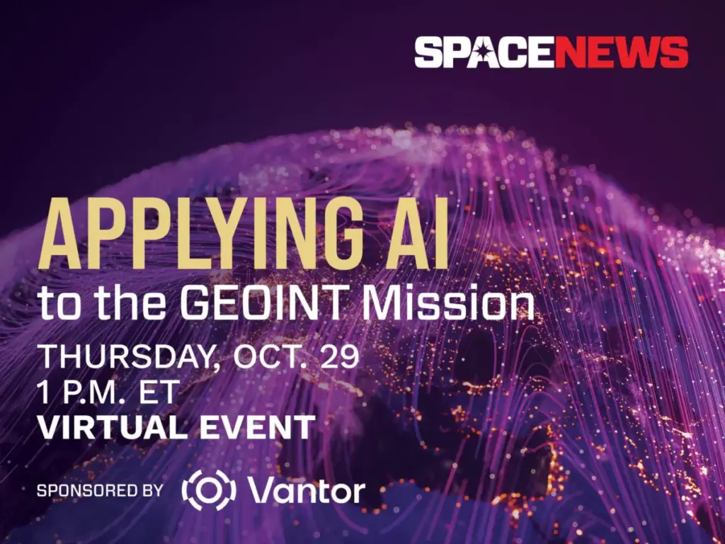
Artificial intelligence is fundamentally reshaping how defense, intelligence, and commercial organizations collect, process, and exploit satellite imagery. As the global volume of Earth observation data expands exponentially, AI has rapidly evolved from an experimental capability into an absolute operational necessity. Modern intelligence organizations increasingly rely on machine learning to rapidly identify complex patterns, detect subtle ground-based anomalies, and deliver high-value intelligence at the unprecedented speed required by modern decision-makers.
To examine these sweeping technological shifts, SpaceNews is partnering with spatial intelligence pioneer Vantor to host a dedicated virtual event. Scheduled for Thursday, October 29, the interactive online discussion will explore how machine learning is actively transforming the Geospatial Intelligence (GEOINT) mission across defense, intelligence, and commercial markets.
The virtual briefing, titled "Applying AI to the GEOINT Mission," will take place from 1:00 p.m. to 1:45 p.m. Eastern Time via Zoom. The session is designed to bring together industry professionals, defense operators, and technology developers to address the practical implementation of artificial intelligence in high-stakes environments.
Core Themes and Technological Frontiers
As Earth-orbiting constellations grow larger and more capable, traditional manual methods of analyzing overhead imagery are no longer sufficient to keep pace with the influx of data. The upcoming SpaceNews and Vantor event will delve into the specific technological breakthroughs driving this operational evolution.

Speakers and participants will discuss cutting-edge advances in automated target recognition, which allow systems to instantaneously spot military hardware, infrastructure changes, or emergency situations without waiting for human analysts to review every individual frame. Conversations will also highlight sophisticated techniques in change detection and multimodal data fusion, where algorithms synthesize disparate data streams—ranging from optical imagery and synthetic aperture radar to radio frequency and real-time ground sensors—to construct a comprehensive, unified operational picture.
Furthermore, the discussion will tackle the growing integration of large language models within intelligence workflows. These advanced linguistic tools are increasingly being leveraged to parse vast amounts of unstructured reports, cross-reference them with visual spatial data, and rapidly draft comprehensive analytical briefings for commanders and operators.
Despite these remarkable technological strides, the integration of artificial intelligence into national security and commercial intelligence is not without friction. The event will directly address the critical challenges associated with validating AI-generated outputs and maintaining steadfast analyst trust in automated systems. As algorithms take on heavier analytical burdens, organizations must grapple with questions of transparency, error rates, and the risk of algorithmic bias.
A central theme of the dialogue will be balancing automation with human expertise. Panelists will examine where artificial intelligence delivers its absolute greatest operational value, such as managing massive data throughput and sorting through acoustic or visual noise, while also identifying the critical junctures where human intuition, context, and judgment remain entirely indispensable. Finally, the conversation will consider how intelligence organizations can strategically adapt their internal structures, training pipelines, and technological architectures to survive and thrive amid an era of persistent, data-driven surveillance.

Event Details and Access
The virtual event is sponsored by Vantor, a company focused on forging the new frontier of spatial intelligence to unlock a more autonomous and interoperable world. Vantor provides decision-makers and operators with the power to build a unified intelligence picture, delivering the clarity required to navigate ongoing developments and anticipate future challenges.
By fusing data from an advanced constellation—which includes some of the most capable imaging satellites currently on orbit—with real-time sensor feeds from space, the air, and the ground, Vantor aims to create an AI-ready digital twin of Earth. Their spatial intelligence platform is designed to automate every phase of the intelligence cycle, from tasking and collection to production, ensuring that foundational data is updated and analyzed at the pace of modern geopolitical and commercial change. These integrated products drive deeper mission-critical insights and connect the next generation of autonomous systems across defense, intelligence, and commercial landscapes.
The 45-minute virtual session on October 29 will be conducted via Zoom. Interested participants can secure their attendance through the official registration portal provided by SpaceNews. Upon completion of the registration process, attendees will receive a unique access link via email. For those unable to attend the live broadcast during the midday time slot, a full event recording will be made publicly available shortly after the session concludes.