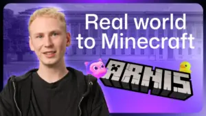







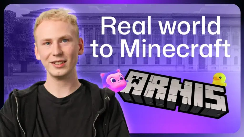
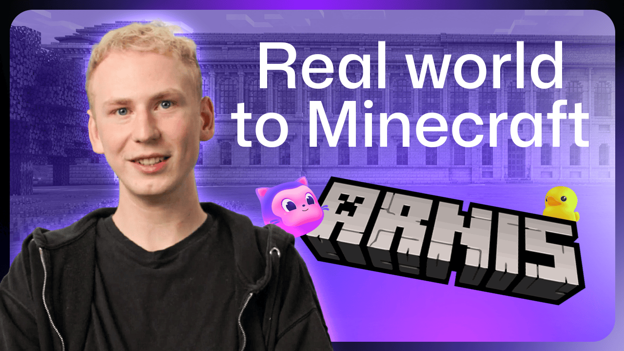
In the digital landscape of open-source development, few projects capture the imagination quite like Arnis. Named after the smallest town in Germany, this software project has evolved from a two-week school break experiment into a powerful engine capable of rendering real-world geography into the blocky, navigable terrain of Minecraft. At the helm of this ambitious endeavor is Louis Erbkamm, a developer who has spent the last two years turning geospatial data into a playground for nearly 900,000 users.
Ironically, while Erbkamm possesses an encyclopedic knowledge of the town of Arnis—its winding streets, the precise location of its local shops, and the placement of its boat moorings—he has never actually visited the town. "I know where the shops are, where the boats are," Erbkamm reflects. "I know the city pretty well, but I haven’t been there yet." This virtual intimacy is a hallmark of the project, which leverages data from OpenStreetMap and other public repositories to bridge the gap between geographic reality and virtual exploration.
A Rapid Prototype and an Unlikely Name
The genesis of Arnis dates back to 2022. Erbkamm, a lifelong Minecraft player who began coding at the age of 13, was perpetually driven by a desire to integrate external data streams into his favorite game. During a school break, he set out to build a prototype that could translate real-world coordinates into Minecraft blocks.
The initial version was a relatively rudimentary Python script. Because he needed a reliable testbed to refine the logic, Erbkamm searched for a small, data-rich German municipality. He settled on the town of Arnis, which offered a dense concentration of buildings, streets, and waterways—perfect for stress-testing his early algorithms. As the project lacked a formal title at the time, he simply adopted the town’s name. Little did he know that this temporary placeholder would eventually represent a project with 70 contributors and a massive global following.
As the software matured, the project moved beyond flat, two-dimensional planes. When Erbkamm introduced elevation data, the resulting Minecraft worlds took on a new dimension of realism, drawing the attention of geospatial experts from around the globe. These specialists brought with them a wealth of knowledge, providing the technical expertise required to refine the integration of complex terrain data. This collaborative spirit fundamentally altered the project’s trajectory. Before making major architectural decisions—such as the significant transition from Python to Rust—Erbkamm utilized the GitHub platform to host open discussions, inviting his community to weigh in on the best way forward. This inclusive approach has paid dividends, resulting in the project being translated into roughly 20 languages and the implementation of sophisticated features contributed by the community itself.
The Complexity of Digital Architecture
Integrating real-world data into a block-based game presents unique challenges, particularly regarding detail. One of the more humanizing anecdotes from the project’s development concerns the humble trash bin. Erbkamm realized that while his generated cities were accurate in scale and layout, they felt strangely sterile. He noticed the abundance of street furniture in his own neighborhood and realized none of it existed in the virtual versions of these cities.
Since Minecraft does not feature native "trash bin" blocks, the community collaborated to identify a suitable substitute. The process for generating these details follows a rigorous pipeline: when a user selects a region, the software queries OpenStreetMap for every mapped entity, cross-referencing coordinates with types to render them in the game. However, when the map data lacks sufficient detail—such as for iconic landmarks like New York’s Statue of Liberty or Rio de Janeiro’s Christ the Redeemer—the software pivots to converting 3D models into Minecraft-compatible structures.
The Role of AI in Maintenance
Managing a project that has been downloaded nearly a million times is a daunting task for a sole maintainer. Erbkamm balances his responsibilities for Arnis alongside his daily life, typically reserving his evenings and weekends for coding, bug fixes, and reviewing the steady stream of pull requests from the community. To keep pace with the workload, he has increasingly relied on GitHub Copilot to streamline his development workflow.
For Erbkamm, AI is not a replacement for his own oversight but a force multiplier for his productivity. He uses the tool to scan for bugs within the latest releases, analyze the frequency of issues reported by users, and trace the origins of specific errors within the codebase. By delegating the more repetitive or time-consuming diagnostic tasks to Copilot, he is able to focus his intellectual energy on the more creative and complex architectural challenges.
The integration of AI has also proven vital for quality assurance. Major feature additions often arrive in the form of large, complex pull requests. Erbkamm utilizes the GitHub Copilot app to perform initial performance reviews, identifying subtle inefficiencies—such as a single incorrect calculation regarding street lights—that could potentially degrade generation times for entire cities. Furthermore, he is currently developing sub-agents within the Copilot ecosystem to monitor specific, sensitive areas of the codebase. These agents act as automated sentinels, flagging potential regressions before they can be introduced into new releases, thereby ensuring that the software remains stable as it grows in scope.
Beyond the Classroom and Into the Cosmos
One of the most rewarding aspects of the project for Erbkamm has been witnessing the adoption of Arnis in educational settings. Teachers have utilized the tool to generate faithful digital replicas of local neighborhoods or school parks, transforming geography and urban planning lessons into interactive, collaborative experiences. In some instances, educators have turned the process into a contest, where students start with the same generated area and compete to improve the local environment using the creative tools available in Minecraft.
The scope of the project continues to expand beyond the horizon. Recent updates have pushed the boundaries of the software, allowing users to generate worlds based on data from the Moon and Mars. Erbkamm’s vision for the future remains focused on accessibility and depth; he aims to make the software even more efficient while increasing the level of detail provided in each generation. His primary goal, however, remains seeing Arnis used as a tool for learning and exploration in more classrooms worldwide.
For those interested in exploring their own surroundings, the process is designed to be as intuitive as possible. Users can download the project from the official repository, select a location—whether it be their hometown, a memorable vacation spot like the Grand Canyon, or a major global landmark—and initiate the generation process. Within minutes, the chosen location is ready to be explored in Minecraft.
Erbkamm encourages users to view the project as a living, community-driven effort. If a user notices a missing bench, a misaligned street, or an absent park feature, they are encouraged to either update the information on OpenStreetMap or report the issue to the maintainer. Through this cycle of community reporting and technical iteration, Arnis continues to evolve, mapping the world one block at a time.