








Artificial intelligence is fundamentally reshaping the methodologies employed by global intelligence organizations to collect, process, and exploit satellite imagery. As the sheer volume of Earth observation data expands exponentially day by day, traditional manual analysis is no longer sufficient. AI has rapidly transitioned from an experimental capability into an absolute operational necessity, proving vital for identifying complex patterns, detecting subtle anomalies, and delivering actionable intelligence at operational speed.
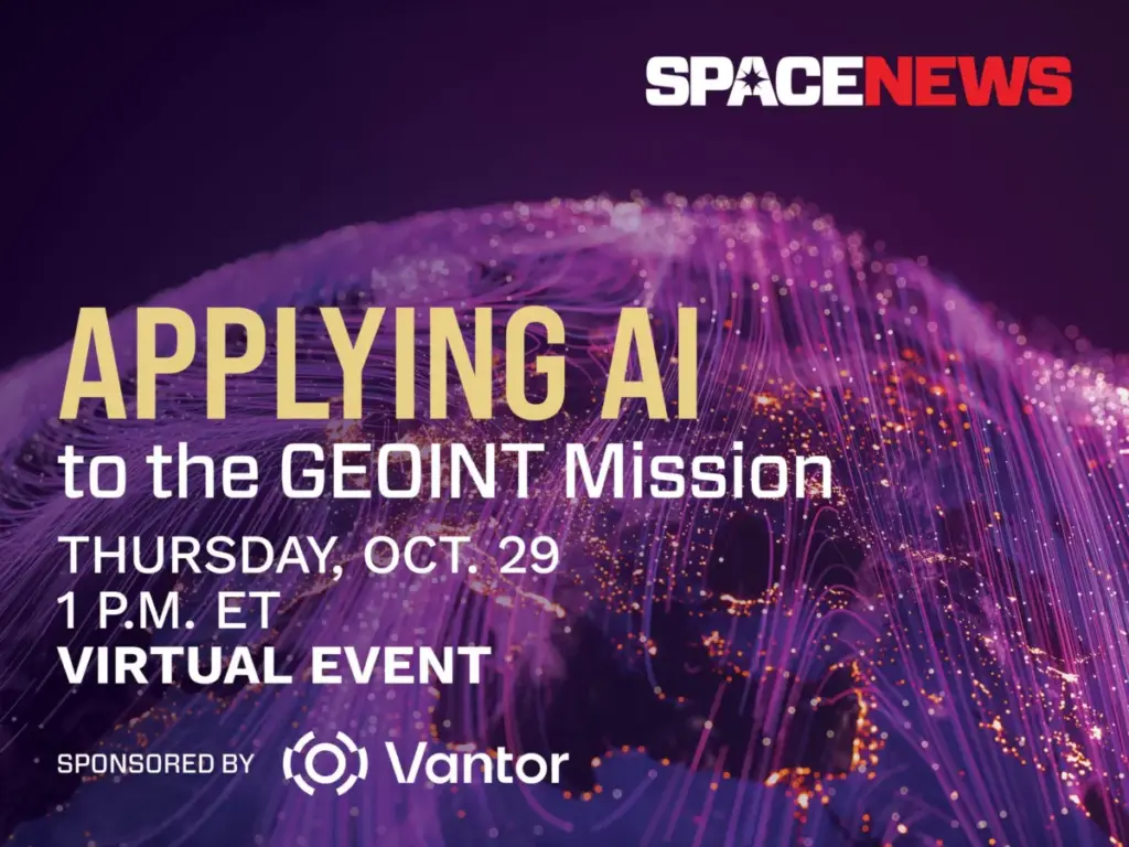
To examine these sweeping technological shifts, SpaceNews and Vantor are partnering to host a dedicated virtual event on Thursday, Oct. 29. Titled "Applying AI to the GEOINT Mission," the 45-minute briefing will explore the ways in which machine learning is revolutionizing geospatial intelligence across defense, intelligence, and commercial markets.

The digital seminar comes at a critical juncture for the aerospace and defense sectors. In recent years, commercial and government satellite constellations have flooded ground stations with high-resolution optical, radar, and hyperspectral imagery. Managing this relentless stream of information requires advanced technological intervention. During the Oct. 29 event, industry and defense experts will dive deep into the latest advances driving this transformation, examining automated target recognition, sophisticated change detection algorithms, multimodal data fusion, and the integration of large language models into intelligence workflows.
Beyond the technological triumphs, the conversation will also confront the significant operational and structural challenges facing modern intelligence agencies. Speakers are expected to address the complex hurdles of validating AI outputs in high-stakes environments, ensuring data security, and maintaining vital analyst trust in automated systems. As persistent, data-driven surveillance becomes the baseline expectation for modern operations, the virtual event will carefully evaluate where artificial intelligence delivers its absolute greatest operational value, where human analysts remain strictly indispensable, and how organizations must adapt to keep pace.
The virtual event is sponsored by Vantor, a company focused on forging a new frontier of spatial intelligence to unlock a more autonomous and interoperable world. Vantor provides decision-makers and frontline operators with the tools required to build a unified intelligence picture, offering the clarity needed to navigate current events and anticipate future developments. By fusing data from its satellite constellation—which includes some of the most capable imaging systems currently on orbit—with real-time sensor feeds spanning space, air, and ground domains, Vantor aims to create an AI-ready digital twin of Earth.

The company’s spatial intelligence platform is designed to automate every segment of the intelligence cycle, spanning from initial tasking and collection to final production, ensuring that foundational Earth data is updated and analyzed at the rapid pace of real-world change. These integrated products are engineered to drive deeper mission-critical insights and seamlessly connect the next generation of autonomous systems across the defense, intelligence, and commercial landscapes.
The "Applying AI to the GEOINT Mission" virtual event will take place on Thursday, Oct. 29, from 1 to 1:45 p.m. Eastern Time. The briefing will be hosted via Zoom, and participants will receive a unique access link upon completing their registration through the SpaceNews platform. For those unable to attend the live broadcast, a full recording of the event will be made available online shortly after the conclusion of the session.